Carroll Estill Burnette
1899-1983
[need photo]
![]()
North Tennessee Preacher
The name Carroll E. Burnette was introduced to this write only a short time ago. It has been my privilege to know his son and daughter-in-law, Earnest and Carolyn Burnette for several years. His grandchildren worship with us at the Buford church of Christ where I preach, and I have known them since my high school days.
Carroll E. Burnette was a long-time preacher on and around the Tennessee and Kentucky border. He preached the unsearcheable riches of God all through the hills and valleys of the Clay County region. To those in churches of Christ in this region, he was known and beloved for his committment to Christ, and his example of faithfulness. Only eternity knows the good did, and continues to be done through his children and grandchildren, and a host of others in whom he touched.
It is a pleasure to have C.E. Burnette listed among many of the dead in Christ on this website.
-Scott Harp, web editor
![]()
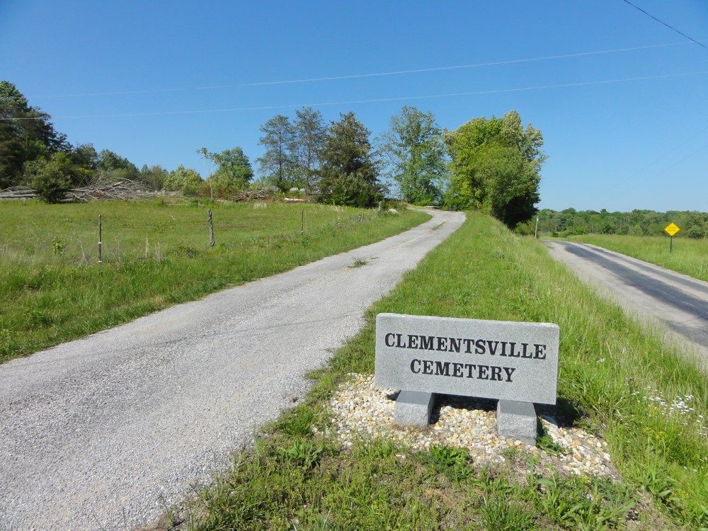
Directions To The Grave of C.E. Burnette
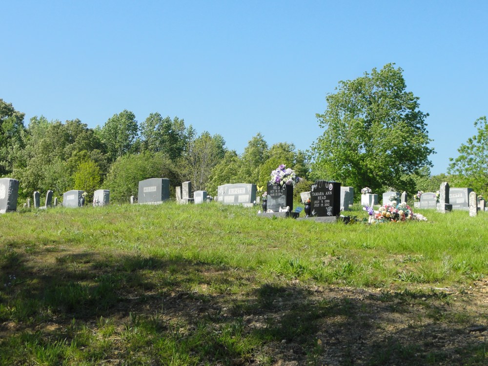
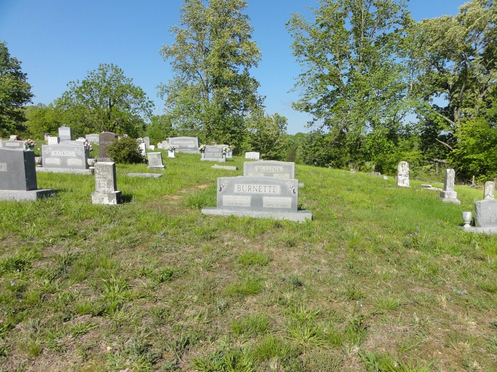
The Clementsville Cemetery is located on Old Mulkey Road near the Clay Co. Tennessee and Kentucky line. In East Tennessee, take I-40 to Cookeville Exit 288 and head north on Hwy. 111. At this point you are about 52 miles from the cemetery. Head north on Hwy. 11 toward Livingston. In Livingston, when coming into town Hwy. 111 will turn hard left. Carry around to the north side of town where you will turn left on Hwy. 52. In about 16 miles you will come into Celina. Stay on Hwy. 52 through downtown. Head out of Celina, still on Hwy. 52 another 12 miles or so and turn right on Clementsville Road (There should be a small Church of Christ on the corner). Turn right and head out Clementsville Road. When it dead-ends, Old Mulkey Road goes to the right. Turn right and immediately on your left will be the Clementsville Cemetery. Enter the drive up to the cemetery. As you head up the hill stop the car just at the top and look to your right. The Burnette plot will be near the drive. The actual GPS location of the grave is: 36°36'46.5"N 85°42'52.5"W / or D.d. 36.612905, -85.714576
![]()
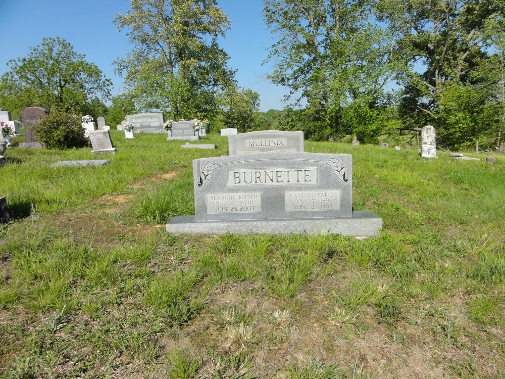
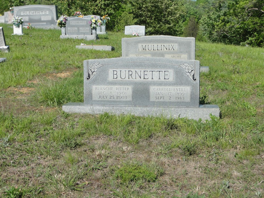
Burnette
Blanch Ritter - December 8, 1901 - July 25, 2003
Carroll Estill - January 17, 1899 - September 2, 1983
![]()
Photos Taken 05.14.2013
Site Produced 09.28.2013
Courtesy of Scott Harp
www.TheRestorationMovement.com
![]()